Discover everything you need to know about navigating the Athens Metro like a pro! Whether you’re new to Athens or just want to navigate the Metro hassle-free, we’ve got you covered!
Metro lines
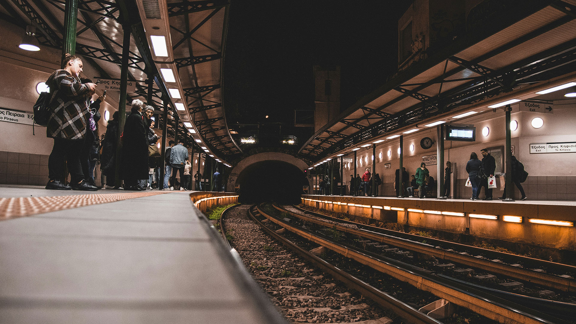
The Athens Metro comprises three lines, totaling 91.7 kilometers and serving 66 stations.
- Line 1 (Green) with 24 stations
- Line 2 (Red) with 20 stations
- Line 3 (Blue) with 24 stations
Line 2 and the metro’s exclusive portion of Line 3 are entirely underground. Line 1 is primarily overground, with a tunnel section in central Athens.
Curious about how to purchase a metro ticket? Look no further – we’ve got your answer right here!
Metro Line 1 (Green line) – Piraeus – Kifissia
Line 1, the oldest of Athens Metro’s trio, stretches from Kifissia to Piraeus, making stops at various neighborhoods along the way. Heading east from Piraeus, it passes through Faliro and heads northward to Moschato, Kallithea, Tavros, Petralona, Thissio, Monastiraki, Omonia, Victoria, and Attiki. The underground stretch between Monastiraki and Attiki offers seamless connections to Lines 2 and 3. Continuing north from Attiki, it follows the path of the historic Lavrion Square-Strofyli railway, passing through Patissia, Nea Ionia, Iraklio, Marousi, and finally reaching its terminus at Kifissia. Passengers can easily switch to the Athens Suburban Railway at Nerantziotissa station for convenient access to Athens International Airport.
Below you can find the route of metro line 1 in google maps.
Line 2 (Red line) – Elliniko – Anthoupoli
Metro Line 2, also known as the Red Line, connects the western suburbs of Athens with the eastern ones, spanning a distance of approximately 17 kilometers. The line serves a total of 20 stations, including major hubs such as Syntagma, Omonia, and Larissa, as well as important interchange stations like Sepolia (connecting with Line 3) and Anthoupoli (connecting with Line 1). The travel time from one end of Line 2 to the other typically ranges from 25 to 30 minutes. This is making it a relatively quick way to traverse the city, especially during rush hours when traffic congestion is common on the surface roads.
Along its route, Line 2 serves several popular destinations and landmarks, such as the National Archaeological Museum, the Athens Concert Hall (Megaro Moussikis), and the Agios Antonios Market.
Below you can find the route of metro line 2 in google maps.
Line 3 (Blue line) – Dimotiko Theatro – Doukisis Plakentias – Airport
Line 3 of the Athens Metro is a speedy route stretching from Dimotiko Theatro in the west to Doukissis Plakentias or Athens Airport in the east, passing through Syntagma. The majority of Line 3 trains begin or end at Doukissis Plakentias. A direct service to the Airport departs every 36 minutes. Line 3 offers a direct connection from the Port of Piraeus to Athens Airport, taking approximately 59 minutes.


